Civilian drone, training and consulting
Technologies :
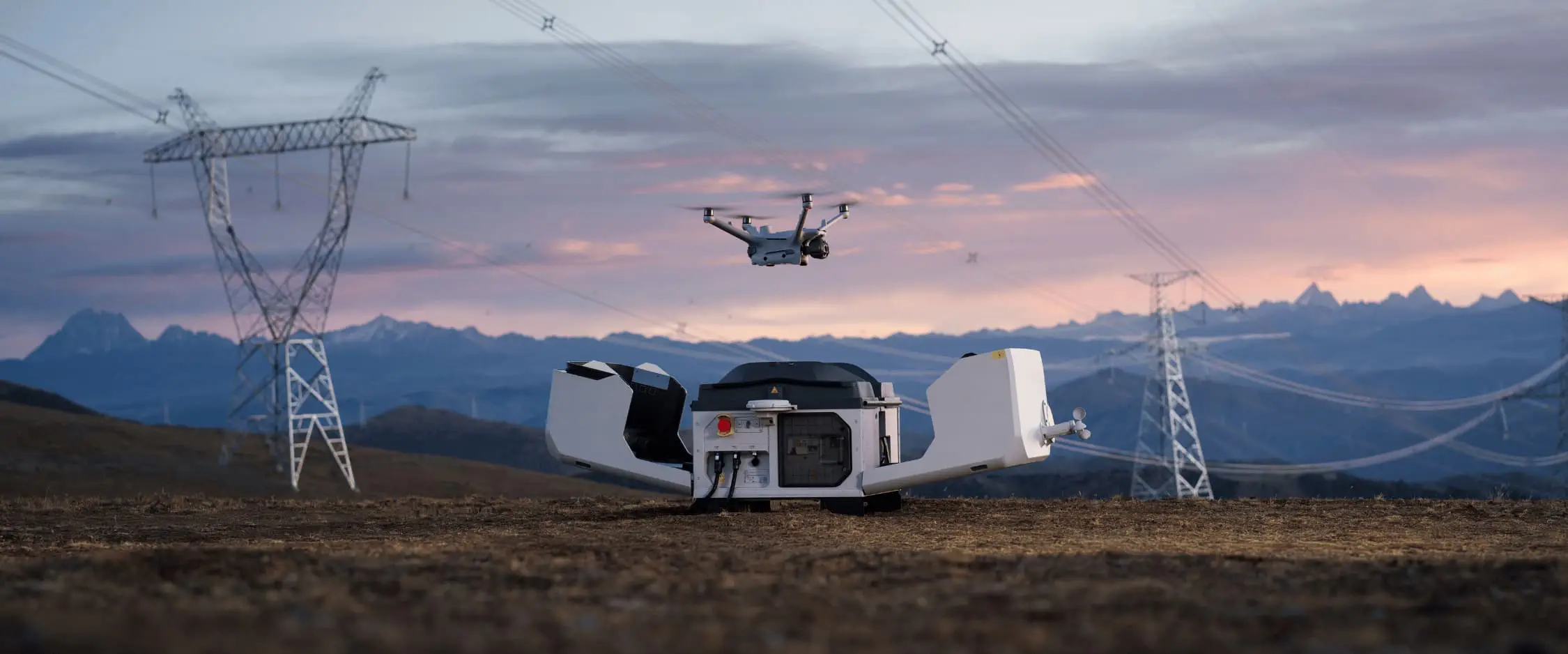
Using state-of-the-art civilian drone, we provide you with precision data of the highest accuracy. We specialize in a civilian range of drones, across industries that benefit most from aerial photography and mapping. Our capabilities also include 3D imaging, Lidar topography and high-resolution 4K video. Thanks to this diversity of services, we are able to meet the data collection needs of any project we take on, to an unprecedented level.
Services :
We offer a multitude of drone services in every field of activity. All our pilots have advanced pilot certification and countless hours of drones experience. Safety is our top priority in all our missions. We have certified equipment and can fly in airspace day and night. We can provide our customers with fast turnaround on mission planning and be ready to fly in the shortest possible time.
Training :
DroneWay also offers its customers in-depth, professional training, ranging from drone pilot training to emergency and risk management training, as well as training in drone-related professions (3D mapping, photogrammetry, industrial inspection of power grids, solar panels, wind turbines and industrial installations, drone filming, etc.).